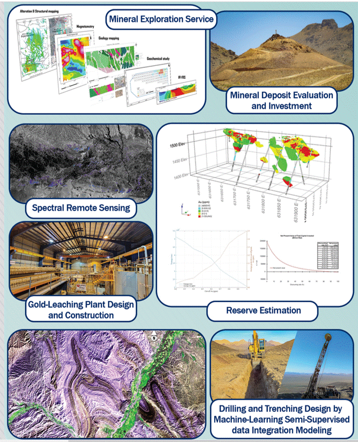
Tethyan Gold Exploration Company (TGE), based in Australia, offers superior expertise in remote sensing, GIS applications, and geospatial data integration modeling in various stages of mineral exploration. We assist mineral exploration companies with everything from grassroots exploration (target generation by spectral remote sensing and geospatial data integration modeling) to semi-supervised machine learning directional drilling generation and reserve estimation/modeling. Trust us to elevate your projects to new heights efficiently. Some of the services that TGE provides are as follows:
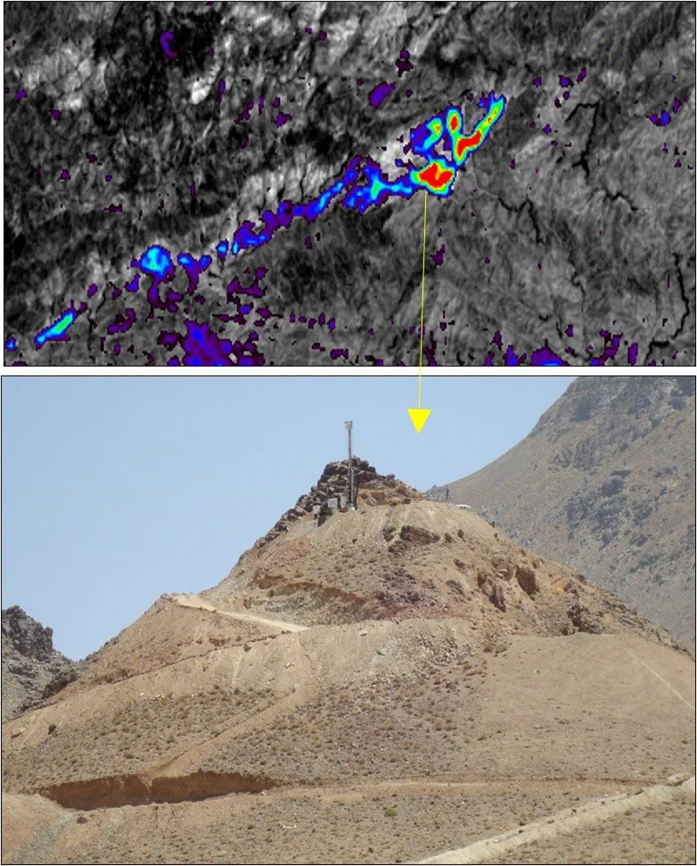
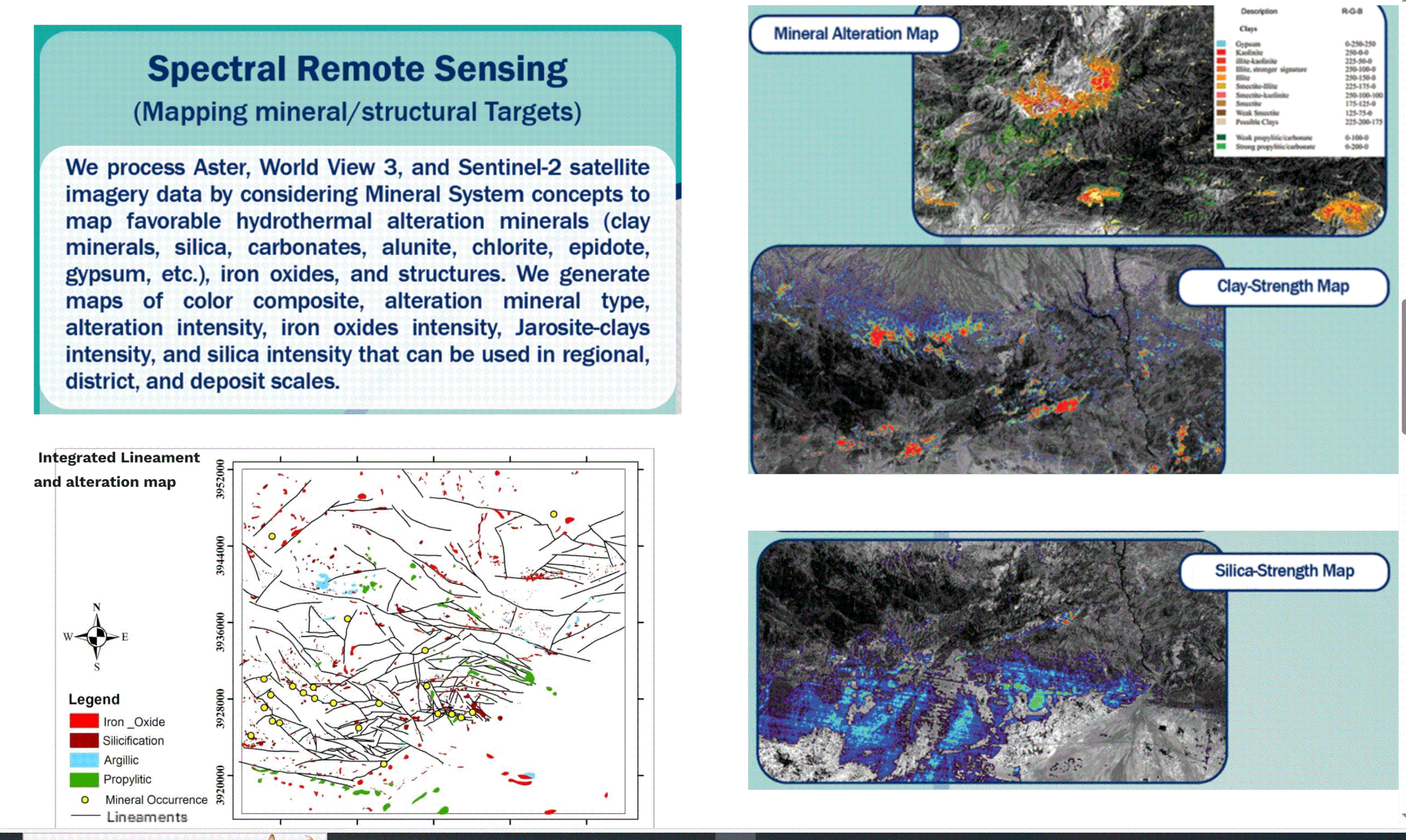
Remotely sensed mineral/alteration mapping by spectral analysis of ASTER, Worldview 3, Sentinel 2, and Prisma satellite imagery data using Envi 6.0 software.
Providing mineral exploration GIS database using Arc-GIS, Q-GIS, and MapInfo.
Deposit recognition criteria and exploration feature selection using mineral systems.
Remote-sensed lineament mapping by using high-resolution satellite imagery data.
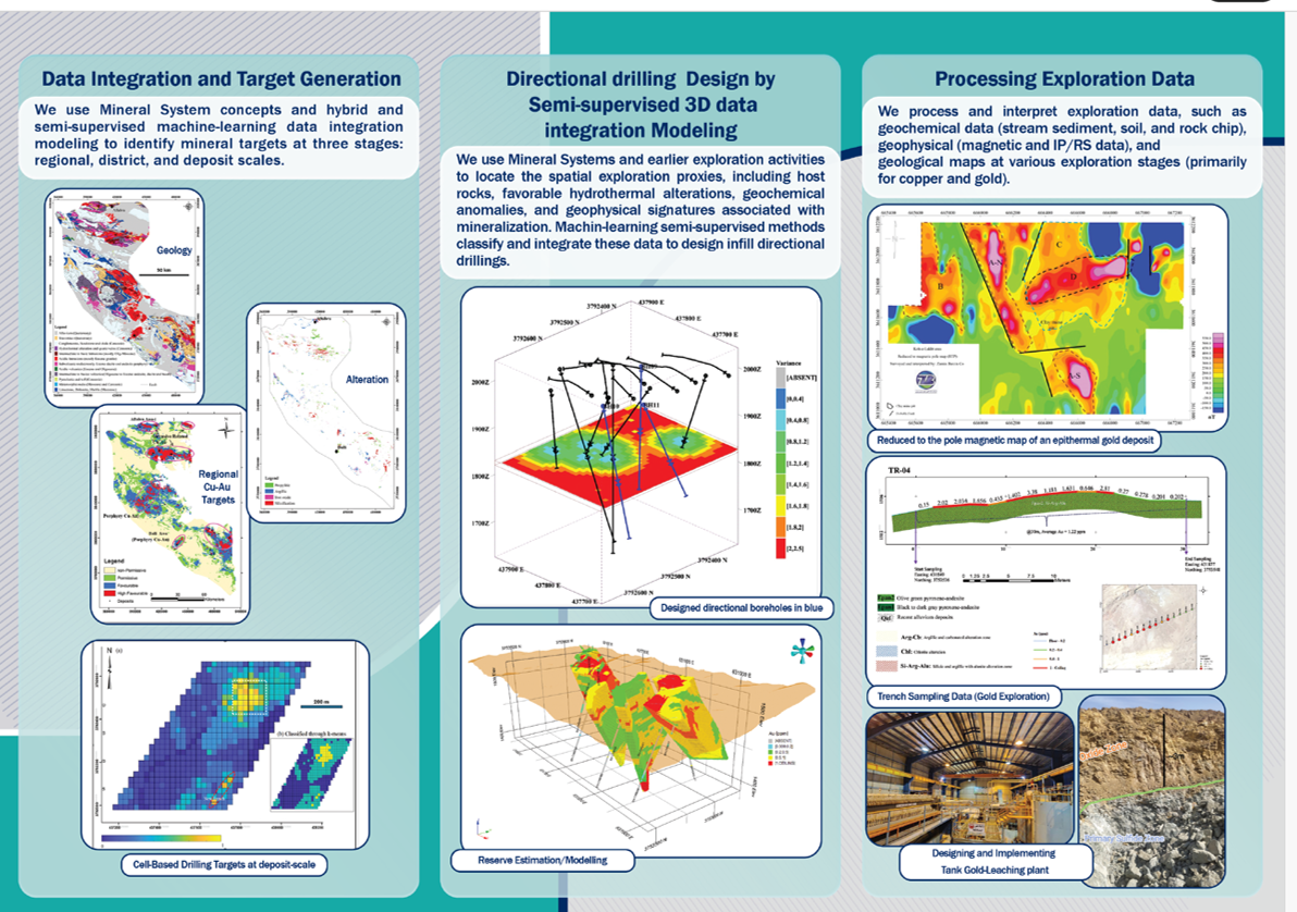
Interpreting geological, geophysical, and geochemical data for target generation in regional and district scales.
Geospatial data integration modeling and mineral prospectivity mapping using multi-criteria decision-making and machine learning algorithms.
Trenching and drilling design using machine-learning semi-supervised geospatial data integration modeling.
Follow-up field exploration for target assessment and sampling.
Reserve estimation and deposit modeling
Feasibility studies of mineral deposits
Desing gold plant (Tank Leashing)


